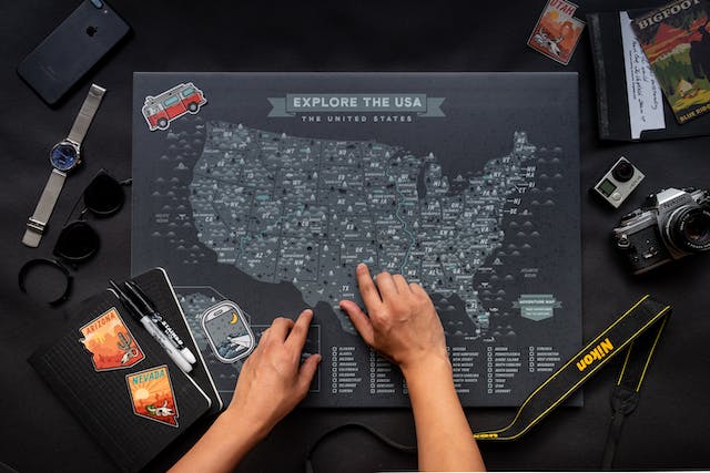
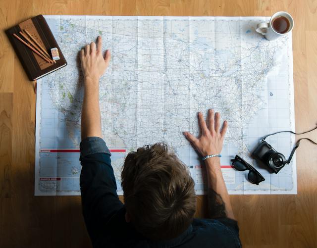
The map of the United States of America impresses geographers and scholars alike. This map visually represents the United States’ territorial expanse, featuring its states’ unique shapes and locations. But have you tried drawing the US map before, either digitally or by hand? US map drawing can be daunting since you must know all states’ and capitals’ precise location, size, and shape.
Doing this practice of drawing, though, allows you to explore the complexities of borders and boundaries of the United States. This guide aims to show you how to successfully draw the US map. Keep reading to learn more!

Exploring the Significance of US Map Drawing
The US map drawing is fun and aesthetically pleasing; it holds profound significance for the nation and its people. Knowing such importance allows you to improve your knowledge of United States geography. More so, it even spurs you to produce befitting states and capital maps. Here are some important aspects of the US map:
- It Signifies National Identity: The US map symbolizes national identity. It allows you to reflect on the unity and diversity of the country.
- It Aids Education and Geography: Maps are fundamental tools for education and geographic literacy. Drawing the US map helps you understand your country’s layout, geography, and regions.
- It is Vital in Navigation and Travel: Maps are essential for navigation and travel. Whether planning a cross-country road trip or pinning multiple places, US maps are indispensable.
- Political Representation: The US map closely relates to political representation. Drawing the map allows you to discover the distribution of political power across congressional districts and states.
- Emergency Response: During natural disasters and emergencies in the United States, these maps help coordinate response efforts, evacuations, and resource allocation.

Understanding Line Drawing of US Map
Line drawing is the process of representing geographic features or boundaries using lines or strokes. They are simplified vector maps that use shapes to feature boundaries, coastlines, rivers, roads, and more. Map drawing usually features a white background to enhance the clarity and visibility of the United States’ geographic details.
Maintaining accurate and precise lines is crucial to create clear and informative maps. When employing line drawing of the US map, here are some tips to note:
- Use a Straightedge: When drawing straight lines for state borders or other features, always use a ruler or straightedge. This method ensures clean, straight lines and prevents shaky or uneven boundaries.
- Maintain Line Consistency: Consistency in line thickness is essential for aesthetic and visual clarity. For instance, employ the same line thickness when drawing the borders of the 50 states in the USA.
- Practice Steady Hand: When drawing lines, use a steady hand and avoid sudden jerks or movements. To achieve success, practice drawing straight lines on a separate sheet of paper to improve your precision.
- Label Lines Appropriately: As you label your lines, ensure their positions are well-spaced and aligned with each state’s borders. This will ensure your labels do not interfere with the lines drawn and reduce map cluttering.
- Consider Line Types: Different line types can convey different information. For instance, thin lines represent political boundaries, while thick lines may indicate physical features like rivers or coastlines. Hence, be mindful of the line types you use to ensure a thorough understanding of your map.

How To Draw the US Map by Hand
Employing lines in US map drawing can be fun and rewarding. It allows you to connect deeply with the nation’s geography while honing your artistic skills. To do so, here’s a step-by-step guide on how to draw the US map by hand:
- Before you begin, ensure you have the necessary materials for the US map line drawing. This includes plain paper, pencils, a pen, markers, and a ruler.
- Decide the appropriate map scale to use. This defines the map’s relationship and the geographic area it represents. A smaller scale is necessary to draw an overview map of the country. However, for more detailed maps, opt for a larger scale.
- Next, start outlining the United States. If you prefer precision, consider tracing the outline from an existing map or using a printed template.
- After drawing the borders, implement the individual state borders as they define the political divisions within the country. Use your ruler to draw straight lines along the borders of each state. Ensure accuracy and precision, as state boundaries often follow natural features such as rivers or mountain ranges.
- Label each state with its abbreviation, name, and capitals. Be sure to vary the font size to emphasize state names and capitals.
- You can enhance your map by adding prominent geographic features such as major rivers, mountain ranges, and significant lakes. These features will assist your readers in understanding the United States’ diverse geography.
- When you’re through, review your map and make any necessary corrections or adjustments. Make sure that state boundaries are sharp and accurately aligned.
Employ a Digital Tool like Mapize for US Map Drawing
Thanks to today’s digital age, powerful tools are available to simplify the process of map drawing seamlessly. These tools also implement customization features that take your maps to the next level.
One tool you can utilize is Mapize, a platform for interactive and creative maps. Mapize empowers individuals and professionals to create custom maps with ease. It offers a range of features tailored for map drawing, including:
- Interactive Interface: Mapize’s interface is intuitive and accessible, making it suitable for all skill levels. Getting started doesn’t require you to be a cartography expert.
- Customization Options: Mapize allows you to customize your maps with various features such as state borders, labels, colors, and symbols. All these features ensure you have complete control over the map’s appearance.
- Data Integration: Mapize lets you incorporate data layers into your map, adding information like population density, distribution chains, or spatial data.
- Export and Sharing: Once your map is complete, Mapize allows you to export it in various formats. You can also share your map with others, whether for educational presentations or recreational purposes.
US map drawing is a captivating blend of artistry, precision, and creativity. Whether you use pencil and paper or leverage digital tools like Mapize, the process is educational and rewarding. Following the steps outlined in this guide, you can create informative maps capturing the United States’s geography. Sign up with Mapize today and create your first custom map for free!


