Geospatial data is essentially location information with respect to Earth. When businesses use it correctly, it can help optimize operations, understand customers and keep costs low. People also rely on geospatial data to find nearby places or for other purposes. To gain these insights from geospatial data, you need to analyze and visualize this information. This is where location mapping, the main topic of this article, comes in.
Today, let’s explore this technique and understand its importance in the modern world. It also covers what software you can use to convert geospatial data into easy-to-understand and valuable information.
What Is Location Mapping?
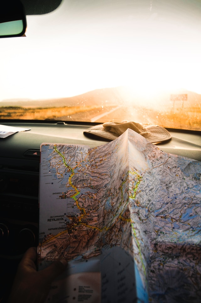
Starting from the ground up, location mapping is a way to portray geospatial information on a map. The main purpose of displaying geographical information this way is to gain insights from it. You may miss out on opportunities or trends when geospatial data remains in spreadsheets.
Geospatial data doesn’t just contain location details but also temporal and attribute information. With this additional information, you can combine and visualize the various data sets using mapping software.
What Is Location Mapping Software?
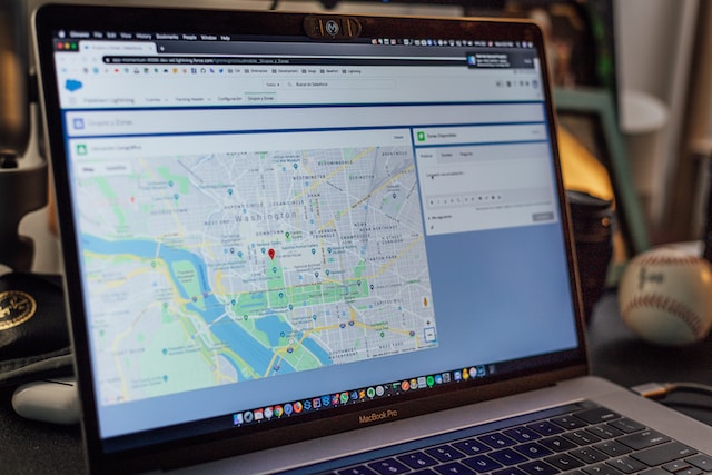
You need a translation layer to analyze the geospatial data. This is the core functionality of mapping software. It is a system where you feed geospatial data via spreadsheets. The software will map the information you provide, enabling you to see it from a different viewpoint.
Usually, reliable tools like Mapize integrate their services with Google Maps to create accurate models of the data sets. You don’t have to stick with one source, allowing you to provide enriched data.
After you visualize the information with mapping software, you can identify trends and patterns. This can help model unique solutions to help you stand out from your competitors. Usually, mapping software will come with the following features:
- Heat Maps: They are density maps that use colors to provide vital information at a glance. For example, you can generate heat maps out sales volume per region to see how various branches of your business are performing.
- Drive Time Polygons: Mapping software uses real-time information with your data sets to calculate drive time. For instance, multiple-location mapping shows you how far you can go within a certain time during peak-hour traffic.
- Custom Filters: You may not need to look at all of your large data sets simultaneously. Not only will this be overwhelming, but it can also make the map look confusing. Mapping software comes with custom filters, enabling you to see information as per your requirements. This helps you focus on what’s important and quickens decision-making processes.
Location Mapping Tool: What Can You Do With It?
Speaking of mapping tools, what can you do once you feed them geospatial data? If you’re using software like Mapize, you get various analytical features to gain deep insights. Below are some of the things you can do with mapping software and geospatial data:
- Enhance business operations: Location mapping is helpful for businesses as it helps identify the best regions for offices. Organizations can map out suppliers, logistics, commercial properties and other parameters to make this decision. They can also see how long it will take employees to reach the branch in a new location.
- Businesses can see their regional competitors and recognize market opportunities and areas for expansion: They can mark underserved areas with heat maps. Also, it can visualize customer demand and population density in the region.
- Optimize routes for sales and delivery: With the right mapping software, you can improve sales and delivery routes. For instance, it shows the location of prospective clients and sales territories. It can also store client demographic information, which you can access anytime. Mapping software can also help you plan efficient routes to manage your appointments with important clients.
- Mapping is essential for delivery routes: You can identify the ideal time to dispatch for delivery and schedule working hours for drivers accordingly. Mapping delivery routes enables you to set up multiple stops and consider traffic patterns.
- Improve data accessibility: Not everyone can make sense of geospatial information in spreadsheets. Also, viewing large data sets in spreadsheets requires powerful hardware. All of this won’t be a problem when you use mapping software.
What Are Location Mapping Apps?
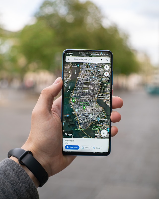
They are mobile apps that use GPS data for various location-based tasks. For example, these mapping apps can give turn-by-turn directions to a specific destination. They often use real-time traffic data to determine your travel time to a specific location.
If you’re new to a city, mapping apps can direct you towards tourist hotspots and other local recommendations. You can also get information about public transport and stores.
Several mapping apps like Google Maps, Apple Maps and Bing Maps exist. However, most mapping software relies on Google Maps API. Why is this the case? For starters, most people are familiar with the Google Maps interface. It is easy to use and contains a plethora of information.
Given how much data Google has about its users, you can get worldwide information in real-time. Also, it is reliable and allows you to customize it as per your requirements.
Add More Features To Google Maps With Mapize
While Google Maps is the go-to option, it has its fair share of limitations. For instance, it doesn’t have support for multiple-location mapping. Say your supervisors must schedule visits to 15 warehouses each day. Google Maps only allows ten stops, which isn’t enough. Also, you can’t have more than 2,000 map pins in a single layer.
Due to these limitations, there are custom map makers who provide additional functionality. This way, you truly have an app that caters to your needs while offering the stability of Google Maps.Also, collecting geospatial data isn’t enough, as it won’t be useful without the right location mapping software. Understanding what you should optimize and identifying your weaknesses can help you maintain a competitive advantage.
Mapize offers features that transform what you can do with Google Maps and comes with a myriad of analytical tools. This improves data interpretation and gives you the resources to enhance planning and decision-making. Try Mapize for free today to see what location mapping can do for you!
