IP Geolocation
IP geolocation makes use of an internet-enabled hardware or device’s IP address to identify its location. It is defined by ip2location.com as “the extrapolation of an object location and other identifying data based on the IP addresses used by the object.”
Through IP geolocation, you can usually narrow down the approximate location of a device to the city level. The uses of IP geolocation include:
- Managing web traffic
- Promoting geographically targeted content
- Cascading location-specific adverts
- Identifying the general location of website/social media page visitors
- Performing analytics for marketing or research purposes
The IP address – or internet protocol – data used for IP geolocation is basically an internet address represented by a 32-bit number associated with an internet network. Each IP address is unique for every device so that it can be identified even when the object moves to a different location as long as it is connected to the internet.
How Do You Perform An IP Geolocation?
IP geolocation uses two types of data which are cross-referenced against each other to get the closest approximation of a device’s physical location – the device information, specifically the numeric IP address, and an IP address database.
On Mapize, you can perform an IP batch geolocation to map multiple IP addresses associated with your website visitors.
Here are the steps:
- Create a spreadsheet containing your website visitor logs. Depending on your web server, you may have to enter your own IP address on a separate column on the spreadsheet.
- Copy and paste the spreadsheet data into Mapize’s location data box.
- Simply follow the prompts to generate your map.
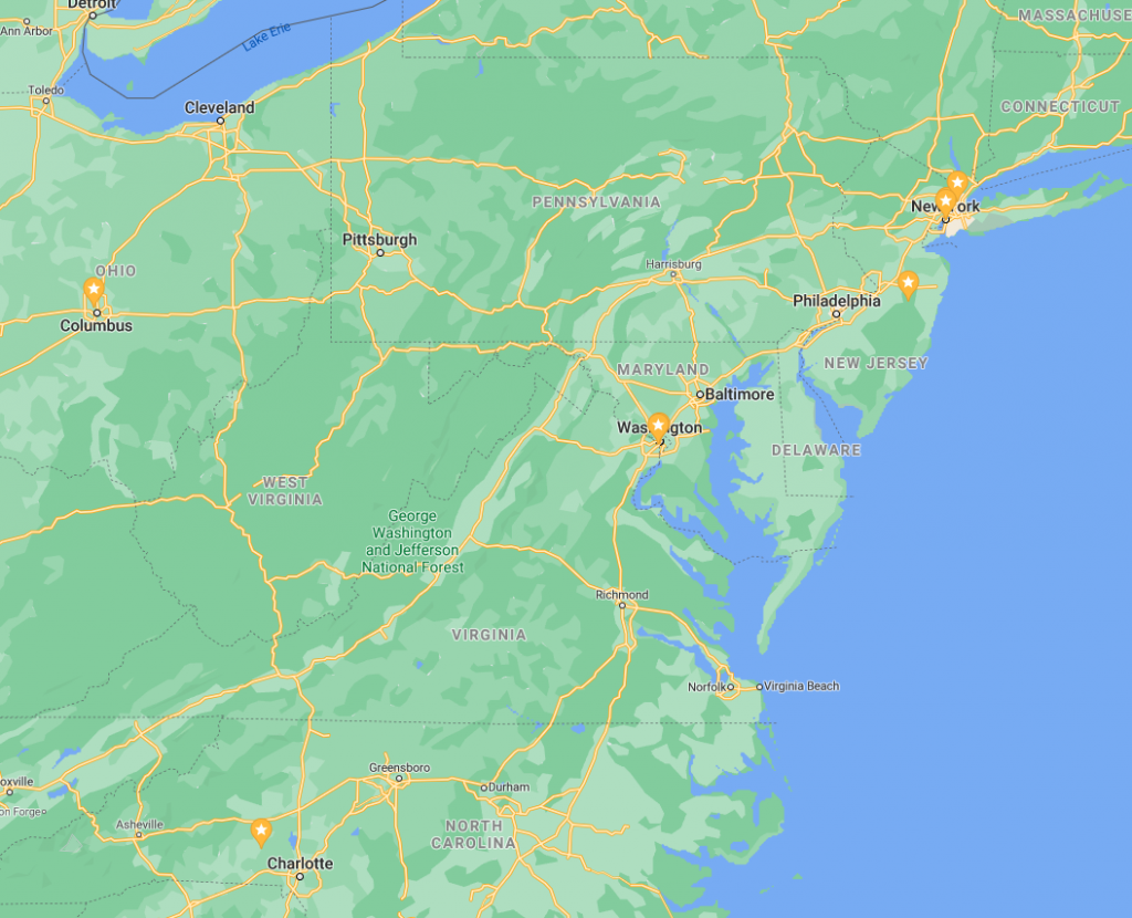
The map you’ll generate via Mapize will provide you with an accurate and interactive visualization of your visitor logs. You can take advantage of our various tools to customize your map’s appearance and how it displays your data. You have the option to keep a copy of your map hosted for free on our server so you can access it any time should you need to update it; or have an offline copy by exporting your data to a Google Earth KML file.
Geolocation Data Access
Mapize derives the following IP address data by using the geolocation API of a reliable and trusted information web service: country, region, city name, zip/postal code, latitude, and longitude, among others.


