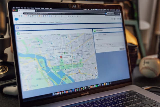
Map-making, in this day and age, is made easier by advanced mapping tools and technologies. If you know how to write code, the art of converting location data into a detailed and informative map is still aided by a geographic information system (GIS) and complex mapping algorithms, such as Google Maps’ enterprise-level API.
If you don’t know how to write code, you can still create your own map by using a map-making platform. Let us take a look at two of the most popular of these platforms: BatchGeo vs Mapize.
BatchGeo
BatchGeo boasts of providing the “fastest way to map your data.”
As with all map-making platforms, BatchGeo makes use of Google Maps’ API to power its mapping tools and utilizes the simple copy-and-paste process of converting raw location data into an interactive map.
Its features include:
- Excel support, which allows users to use Excel data to create a map
- Map badges, which includes a dynamic thumbnail version of your map that can be embedded into your website
- Embed maps, which allows users to directly embed their live map into their website
- Map open data, which converts any open data in tabular format into a Google map
- Map grouping, which allows users to group their data according to set categories
- Data analysis, which helps users understand various aspects of their map data
- Sales mapping, which facilitates mapping of customers, leads, suppliers, and more
- Real estate listing, store locator, story-telling for journalistic purposes, and more
BatchGeo has a free version that offers access to basic features. The paid version, BatchGeo Pro offers additional perks, including:
- Street view integration
- Heat map layer
- 10x faster geocoding
- 10 users allowed
- Enhanced security
- Advanced data selection
- More data and groups
- No ads
Get Started
Mapize offers “Creative interactive maps” with powerful analytic features that you can use to derive valuable insight from your raw data, make impressive presentations, and/or engage with, inform, and educate your audience.
Mapize is also powered by Google Maps’ enterprise-level mapping technology and delivers unmatched performance, world-class tools, and global coverage. Users only need to copy and paste their location data into the site’s intelligent and user-friendly map-making tool to create an interactive and informative map.
Mapize’s features include:
- Robust software designed for ease and convenience, with intuitive tools/features that allow anyone, regardless of skill level, to create professional-looking and detailed maps.
- Powerful and intelligent customization and editing tools that can transform your data into an impressive and fully customizable map which can provide you with useful insights and help you communicate your ideas and stories, or educate, inform, or persuade your audience.
- Map customization, which includes customized map markers, default map view, and map styles, among many others.
- A variety of display and sharing options:
- Choose what details you want to be visible and which ones you want to hide
- Choose you can see your map
- Share your map privately or publish it publicly
- Embed your map with a web page using a simple HTML code, or print your map
With Mapize’s interactive mapping software, you can:
- Create a heat map to show and customize area densities
- Export your data as a spreadsheet, pdf, or image
- Visualize and calculate driving distances
- Group and filter map data
- Add a store locator to your map
- Find the fastest route to a destination
Mapize’s free version offers basic mapping features. Mapize’s Pro and Pro+ versions offer:
- Faster geocoding rates
- Heat map tool
- Thousands of pins per map
- Data selection and optimization tools
- A higher monthly geocoding maximum
- Unique grouping options
- Unlimited number of maps
- Password-protected maps
- Label pins
- PDF, KML, Image and Print Export


